 MOSTAR
Current Status
Where is the vessel?
MOSTAR is currently in 115 nm N of Suqutrá, based on AIS data received about 15h ago.
Latest AIS update:
Current position: 14.31500° N, 54.63500° E (115 nm N of Suqutrá)
Average speed (last 7 days): Loading…
Average speed (last 30 days): Loading…
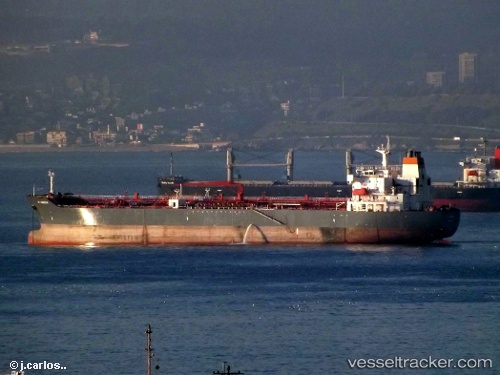
Vessel profile: MOSTAR is a Oil/Chemical Tanker with dimensions m x m.
This page combines live AIS, route history, probable destination signals, nearby traffic, and port activity for practical vessel monitoring.
The current position of vessel MOSTAR is 14.31500 lat / 54.63500 lng. Updated: 2026-05-23 01:40:32 UTCNearest reference points:
- 103 nm S of Port Raysut
- 110 nm NE of Gross Koris
- 106 nm S of Port Raysut
Currently sailing under the flag of Panama ![]()
Details:
Live Vessel MOSTAR Analytics (details, animations, etc.)
Recent AIS points (UTC):
2026-05-22 22:31:37 UTC · 14.12667, 55.23333 · SOG 11 kn · COG -1°2026-05-23 00:10:49 UTC · 14.22752, 54.91925 · SOG 11.5 kn · COG 288°
2026-05-23 01:22:33 UTC · 14.29500, 54.69167 · SOG 11 kn · COG -1°
2026-05-23 01:40:32 UTC · 14.31500, 54.63500 · SOG 11 kn · COG -1°