 WISDOM STAR
Current Status
Where is the vessel?
WISDOM STAR is currently in 34 nm SW of Bataduwa, based on AIS data received about 14h ago.
Latest AIS update:
Current position: 5.83098° N, 79.67851° E (34 nm SW of Bataduwa)
Average speed (last 7 days): Loading…
Average speed (last 30 days): Loading…
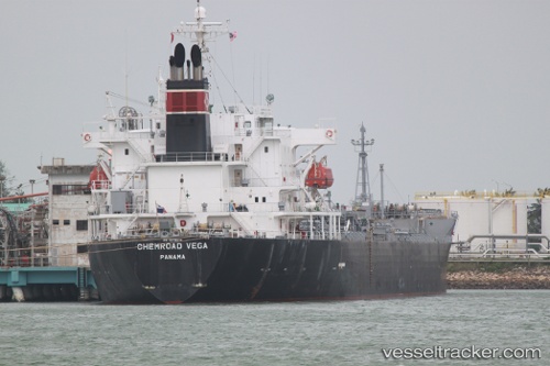
Vessel profile: WISDOM STAR is a Chemical Tanker with dimensions m x m.
This page combines live AIS, route history, probable destination signals, nearby traffic, and port activity for practical vessel monitoring.
The current position of vessel WISDOM STAR is 5.83098 lat / 79.67851 lng. Updated: 2026-05-23 06:06:51 UTCNearest reference points:
- 38 nm SW of Galle
- 19 nm SW of Bataduwa
- 36 nm S of Koggala
Currently sailing under the flag of Panama ![]()
Details:
Live Vessel WISDOM STAR Analytics (details, animations, etc.)
Recent AIS points (UTC):
2026-05-23 02:39:00 UTC · 6.46772, 79.34683 · SOG 12.3 kn · COG 147°2026-05-23 03:39:50 UTC · 6.29033, 79.45474 · SOG 12.1 kn · COG 147°
2026-05-23 04:09:42 UTC · 6.20134, 79.50317 · SOG 12.3 kn · COG -1°
2026-05-23 06:06:51 UTC · 5.83098, 79.67851 · SOG 12.8 kn · COG 148°