 SEA DIAMOND 1
Current Status
Where is the vessel?
SEA DIAMOND 1 is currently in 217 nm NE of Cap Malheureux, based on AIS data received about 15h ago.
Latest AIS update:
Current position: 17.10792° S, 59.89603° E (217 nm NE of Cap Malheureux)
Average speed (last 7 days): Loading…
Average speed (last 30 days): Loading…
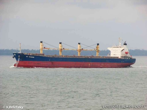
Vessel profile: SEA DIAMOND 1 is a Bulk Carrier with dimensions m x m.
This page combines live AIS, route history, probable destination signals, nearby traffic, and port activity for practical vessel monitoring.
The current position of vessel SEA DIAMOND 1 is -17.10792 lat / 59.89603 lng. Updated: 2026-05-23 05:44:48 UTCNearest reference points:
- 219 nm NW of Port Mathurin
- 106 nm NW of Port Mathurin
Currently sailing under the flag of Panama ![]()
Details:
Live Vessel SEA DIAMOND 1 Analytics (details, animations, etc.)
Recent AIS points (UTC):
2026-05-23 02:30:53 UTC · -16.73255, 60.50132 · SOG 12.6 kn · COG 234°2026-05-23 03:41:15 UTC · -16.87693, 60.28758 · SOG 13.1 kn · COG 238°
2026-05-23 04:13:42 UTC · -16.93847, 60.18370 · SOG 12.9 kn · COG 238°
2026-05-23 05:44:48 UTC · -17.10792, 59.89603 · SOG 12.8 kn · COG 239°