 SW NORTH WIND I
Current Status
Where is the vessel?
SW NORTH WIND I is currently in 46 nm NW of Kumejima, based on AIS data received about 14h ago.
Latest AIS update:
Current position: 27.07020° N, 126.36308° E (46 nm NW of Kumejima)
Average speed (last 7 days): Loading…
Average speed (last 30 days): Loading…
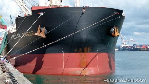
Vessel profile: SW NORTH WIND I is a Bulk Carrier with dimensions m x m.
This page combines live AIS, route history, probable destination signals, nearby traffic, and port activity for practical vessel monitoring.
The current position of vessel SW NORTH WIND I is 27.07020 lat / 126.36308 lng. Updated: 2026-05-23 04:39:19 UTCNearest reference points:
- 165 nm SE of Lü-hua Shan
- 129 nm SE of ZHOUSHAN
- 102 nm E of Wenling Longmen Port
Currently sailing under the flag of Panama ![]()
Details:
Live Vessel SW NORTH WIND I Analytics (details, animations, etc.)
Recent AIS points (UTC):
2026-05-22 19:22:01 UTC · 27.87413, 127.73968 · SOG 9.8 kn · COG 238°2026-05-22 19:22:01 UTC · 27.87413, 127.73968 · SOG 9.8 kn · COG 238°
2026-05-22 19:22:01 UTC · 27.87413, 127.73968 · SOG 9.8 kn · COG 238°
2026-05-23 04:39:19 UTC · 27.07020, 126.36308 · SOG 7.8 kn · COG -1°