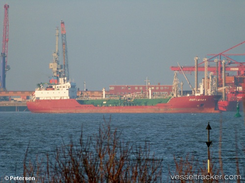
 GAS ZUMA
Current Status
Where is the vessel?
GAS ZUMA is currently in Near DORTYOL, based on AIS data received about 14h ago.
Latest AIS update:
Current position: 36.82581° N, 36.12554° E (Near DORTYOL)
Average speed (last 7 days): Loading…
Average speed (last 30 days): Loading…
Vessel profile: GAS ZUMA is a Lpg Tanker with dimensions m x m.
This page combines live AIS, route history, probable destination signals, nearby traffic, and port activity for practical vessel monitoring.
The current position of vessel GAS ZUMA is 36.82581 lat / 36.12554 lng. Updated: 2026-05-23 06:12:01 UTCNearest reference points:
- Near DORTYOL
- Near CEYHAN
- Near Iskenderun
Currently sailing under the flag of Panama ![]()
Details:
Live Vessel GAS ZUMA Analytics (details, animations, etc.)
Recent AIS points (UTC):
2026-05-23 02:27:02 UTC · 36.82549, 36.12500 · SOG 0.1 kn · COG 119°2026-05-23 03:51:02 UTC · 36.82540, 36.12495 · SOG 0 kn · COG 117°
2026-05-23 04:00:02 UTC · 36.82529, 36.12487 · SOG 0 kn · COG 107°
2026-05-23 06:12:01 UTC · 36.82581, 36.12554 · SOG 0.1 kn · COG 167°