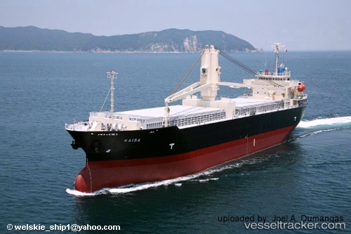
 KAISA
KAISA
Current Status
Where is the vessel?
KAISA is currently in 31 nm NW of Kikeh, based on AIS data received about 15h ago.
Latest AIS update:
Current position: 6.20167° N, 113.88333° E (31 nm NW of Kikeh)
Average speed (last 7 days): Loading…
Average speed (last 30 days): Loading…
Vessel profile: KAISA is a General Cargo with dimensions m x m.
This page combines live AIS, route history, probable destination signals, nearby traffic, and port activity for practical vessel monitoring.
The current position of vessel KAISA is 6.20167 lat / 113.88333 lng. Updated: 2026-05-20 04:18:04 UTCNearest reference points:
- 53 nm S of Pulau Lang Lang
- Near Kikeh
- 44 nm SW of Tembungo
Currently sailing under the flag of Panama ![]()
Details:
Live Vessel KAISA Analytics (details, animations, etc.)
Recent AIS points (UTC):
2026-05-20 02:06:04 UTC · 5.95333, 113.55500 · SOG 10 kn · COG -1°2026-05-20 02:06:04 UTC · 5.95333, 113.55500 · SOG 10 kn · COG -1°
2026-05-20 03:30:03 UTC · 6.11167, 113.76333 · SOG 11 kn · COG -1°
2026-05-20 04:18:04 UTC · 6.20167, 113.88333 · SOG 11 kn · COG -1°