 AAPUS 11
Current Status
Where is the vessel?
AAPUS 11 is currently in 15 nm S of Krieschow, based on AIS data received about 14h ago.
Latest AIS update:
Current position: 51.50858° N, 1.85298° E (15 nm S of Krieschow)
Average speed (last 7 days): Loading…
Average speed (last 30 days): Loading…
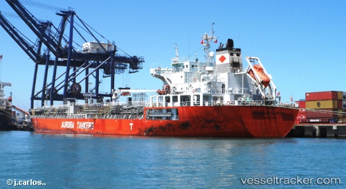
Vessel profile: AAPUS 11 is a Oil/Chemical Tanker with dimensions m x m.
This page combines live AIS, route history, probable destination signals, nearby traffic, and port activity for practical vessel monitoring.
The current position of vessel AAPUS 11 is 51.50858 lat / 1.85298 lng. Updated: 2026-05-19 10:06:35 UTCNearest reference points:
- 15 nm E of RAMSGATE
- 14 nm SE of RAMSGATE
- Near Broadstairs
Currently sailing under the flag of Panama ![]()
Details:
Live Vessel AAPUS 11 Analytics (details, animations, etc.)
Recent AIS points (UTC):
2026-05-19 06:00:38 UTC · 51.51202, 1.85380 · SOG 0 kn · COG 170°2026-05-19 07:54:34 UTC · 51.51130, 1.85157 · SOG 0.1 kn · COG 105°
2026-05-19 08:03:36 UTC · 51.51070, 1.85163 · SOG 0.2 kn · COG 99°
2026-05-19 10:06:35 UTC · 51.50858, 1.85298 · SOG 0.1 kn · COG 56°