 AH GLOBE
Current Status
Where is the vessel?
AH GLOBE is currently in Near GELENDZHIK, based on AIS data received about 14h ago.
Latest AIS update:
Current position: 44.57294° N, 37.91133° E (Near GELENDZHIK)
Average speed (last 7 days): Loading…
Average speed (last 30 days): Loading…
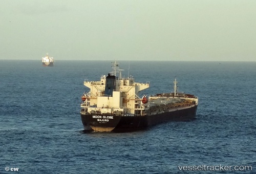
Vessel profile: AH GLOBE is a Bulk Carrier with dimensions m x m.
This page combines live AIS, route history, probable destination signals, nearby traffic, and port activity for practical vessel monitoring.
The current position of vessel AH GLOBE is 44.57294 lat / 37.91133 lng. Updated: 2026-05-19 08:17:17 UTCNearest reference points:
- Near GELENDZHIK
- Near Novorossiysk
- 11 nm SE of GELENDZHIK
Currently sailing under the flag of Panama ![]()
Details:
Live Vessel AH GLOBE Analytics (details, animations, etc.)
Recent AIS points (UTC):
2026-05-19 04:30:36 UTC · 44.59474, 38.07294 · SOG 26.8 kn · COG 261°2026-05-19 05:43:08 UTC · 44.57931, 38.10345 · SOG 9.2 kn · COG 275°
2026-05-19 07:01:51 UTC · 44.51967, 37.99610 · SOG 7.7 kn · COG 288°
2026-05-19 08:17:17 UTC · 44.57294, 37.91133 · SOG 0.4 kn · COG 259°