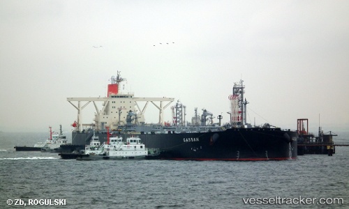
 GASSAN
Current Status
Where is the vessel?
GASSAN is currently in 238 nm SW of Veraval, based on AIS data received about 15h ago.
Latest AIS update:
Current position: 17.97387° N, 67.51167° E (238 nm SW of Veraval)
Average speed (last 7 days): Loading…
Average speed (last 30 days): Loading…
Vessel profile: GASSAN is a Crude Oil Tanker with dimensions m x m.
This page combines live AIS, route history, probable destination signals, nearby traffic, and port activity for practical vessel monitoring.
The current position of vessel GASSAN is 17.97387 lat / 67.51167 lng. Updated: 2026-05-21 19:40:32 UTCNearest reference points:
- 236 nm SW of Veraval
- 306 nm SW of Veraval
- 282 nm W of RATNAGIRI
Currently sailing under the flag of Panama ![]()
Details:
Live Vessel GASSAN Analytics (details, animations, etc.)
Recent AIS points (UTC):
2026-05-21 16:35:08 UTC · 18.75940, 67.68287 · SOG 15.4 kn · COG 191°2026-05-21 18:03:50 UTC · 18.38512, 67.59831 · SOG 15.7 kn · COG 190°
2026-05-21 19:23:50 UTC · 18.04490, 67.52661 · SOG 15.5 kn · COG 190°
2026-05-21 19:40:32 UTC · 17.97387, 67.51167 · SOG 15.7 kn · COG 190°