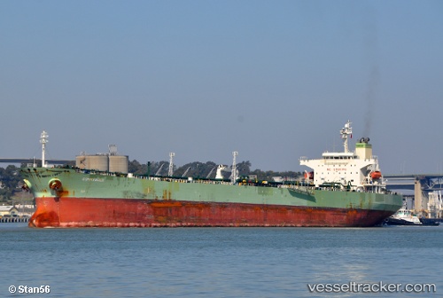
 TAILWINDS
Current Status
Where is the vessel?
TAILWINDS is currently in Near EL PALITO, based on AIS data received about 14h ago.
Latest AIS update:
Current position: 10.52207° N, 68.14282° W (Near EL PALITO)
Average speed (last 7 days): Loading…
Average speed (last 30 days): Loading…
Vessel profile: TAILWINDS is a Crude Oil Tanker with dimensions m x m.
This page combines live AIS, route history, probable destination signals, nearby traffic, and port activity for practical vessel monitoring.
The current position of vessel TAILWINDS is 10.52207 lat / -68.14282 lng. Updated: 2026-05-23 06:16:32 UTCNearest reference points:
- Near Bullenbaai
- Near Las Piedras
- 24 nm NW of Palm Beach
Currently sailing under the flag of Panama ![]()
Details:
Live Vessel TAILWINDS Analytics (details, animations, etc.)
Recent AIS points (UTC):
2026-05-23 02:07:35 UTC · 10.52245, -68.14325 · SOG 0 kn · COG 52°2026-05-23 04:01:32 UTC · 10.52222, -68.14297 · SOG 0 kn · COG 38°
2026-05-23 04:52:32 UTC · 10.52207, -68.14288 · SOG 0 kn · COG 32°
2026-05-23 06:16:32 UTC · 10.52207, -68.14282 · SOG 0 kn · COG 32°