 STONEFISH
Current Status
Where is the vessel?
STONEFISH is currently in Near Ad Dubayyah, based on AIS data received about 14h ago.
Latest AIS update:
Current position: 33.94623° N, 35.55869° E (Near Ad Dubayyah)
Average speed (last 7 days): Loading…
Average speed (last 30 days): Loading…
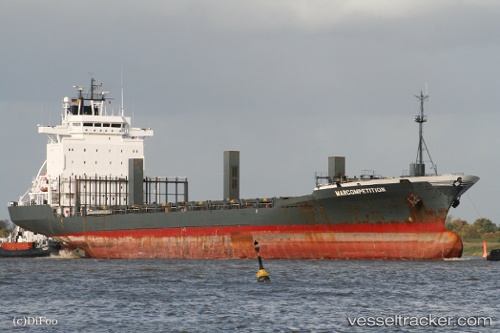
Vessel profile: STONEFISH is a Container Ship with dimensions m x m.
This page combines live AIS, route history, probable destination signals, nearby traffic, and port activity for practical vessel monitoring.
The current position of vessel STONEFISH is 33.94623 lat / 35.55869 lng. Updated: 2026-05-22 02:04:26 UTCNearest reference points:
- Near DBAIYEH
- Near Zouk
- Near Tripoli
Currently sailing under the flag of Panama ![]()
Details:
Live Vessel STONEFISH Analytics (details, animations, etc.)
Recent AIS points (UTC):
2026-05-21 22:16:24 UTC · 33.94675, 35.55841 · SOG 0.3 kn · COG 228°2026-05-21 22:55:26 UTC · 33.94617, 35.55871 · SOG 0.4 kn · COG 240°
2026-05-22 01:10:30 UTC · 33.94629, 35.55879 · SOG 0.1 kn · COG 243°
2026-05-22 02:04:26 UTC · 33.94623, 35.55869 · SOG 0.2 kn · COG 237°