 ANNABEL
Current Status
Where is the vessel?
ANNABEL is currently in 42 nm SE of OSMAN DIGNA, based on AIS data received about 15h ago.
Latest AIS update:
Current position: 18.78702° N, 38.01075° E (42 nm SE of OSMAN DIGNA)
Average speed (last 7 days): Loading…
Average speed (last 30 days): Loading…
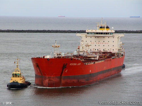
Vessel profile: ANNABEL is a Oil/Chemical Tanker with dimensions m x m.
This page combines live AIS, route history, probable destination signals, nearby traffic, and port activity for practical vessel monitoring.
The current position of vessel ANNABEL is 18.78702 lat / 38.01075 lng. Updated: 2026-05-19 23:42:08 UTCNearest reference points:
- Near Port Sudan
- 53 nm SW of SHUAIBAH
- 99 nm SW of Al Qunfudah
Currently sailing under the flag of Panama ![]()
Details:
Live Vessel ANNABEL Analytics (details, animations, etc.)
Recent AIS points (UTC):
2026-05-19 20:04:42 UTC · 18.78109, 38.00777 · SOG 2 kn · COG 57°2026-05-19 21:38:00 UTC · 18.77715, 38.00222 · SOG 17.3 kn · COG 93°
2026-05-19 22:30:48 UTC · 18.78178, 38.00758 · SOG 0 kn · COG 109°
2026-05-19 23:42:08 UTC · 18.78702, 38.01075 · SOG 0.1 kn · COG 185°