 vesseltracker.com
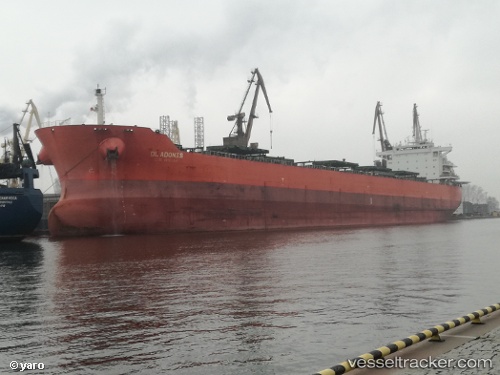
 SERALIA
Current Status
Where is the vessel?
SERALIA is currently in 369 nm SW of Tsiombe, based on AIS data received about 14h ago.
Latest AIS update:
Current position: 28.93333° S, 39.92167° E (369 nm SW of Tsiombe)
Average speed (last 7 days): Loading…
Average speed (last 30 days): Loading…
Vessel profile: SERALIA is a Bulk Carrier with dimensions m x m.
This page combines live AIS, route history, probable destination signals, nearby traffic, and port activity for practical vessel monitoring.
The current position of vessel SERALIA is -28.93333 lat / 39.92167 lng. Updated: 2026-05-18 13:32:13 UTCNearest reference points:
- Open sea, approx. 401 nm off the nearest listed port
- Open sea, approx. 402 nm off the nearest listed port
- Open sea, approx. 403 nm off the nearest listed port
Currently sailing under the flag of Panama ![]()
Details:
Live Vessel SERALIA Analytics (details, animations, etc.)
Recent AIS points (UTC):
2026-05-18 10:26:09 UTC · -28.67500, 40.55167 · SOG 11 kn · COG -1°2026-05-18 12:05:12 UTC · -28.81667, 40.22833 · SOG 11 kn · COG -1°
2026-05-18 13:11:10 UTC · -28.90500, 39.99667 · SOG 12 kn · COG -1°
2026-05-18 13:32:13 UTC · -28.93333, 39.92167 · SOG 11 kn · COG -1°