 TANGO 2
Current Status
Where is the vessel?
TANGO 2 is currently in 21 nm NE of Ile D’Ouessant, based on AIS data received about 15h ago.
Latest AIS update:
Current position: 48.94104° N, 5.17748° W (21 nm NE of Ile D’Ouessant)
Average speed (last 7 days): Loading…
Average speed (last 30 days): Loading…
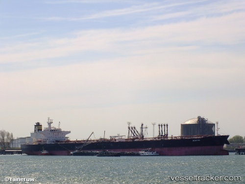
Vessel profile: TANGO 2 is a Crude Oil Tanker with dimensions m x m.
This page combines live AIS, route history, probable destination signals, nearby traffic, and port activity for practical vessel monitoring.
The current position of vessel TANGO 2 is 48.94104 lat / -5.17748 lng. Updated: 2026-05-19 07:53:29 UTCNearest reference points:
- 18 nm NE of Ile D’Ouessant
- 34 nm W of Verzy
- 28 nm N of Landunvez
Currently sailing under the flag of Panama ![]()
Details:
Live Vessel TANGO 2 Analytics (details, animations, etc.)
Recent AIS points (UTC):
2026-05-19 05:02:51 UTC · 48.51723, -5.82667 · SOG 13.6 kn · COG 29°2026-05-19 05:48:10 UTC · 48.67069, -5.72406 · SOG 13.2 kn · COG 13°
2026-05-19 07:35:11 UTC · 48.90801, -5.26443 · SOG 13.2 kn · COG 58°
2026-05-19 07:53:29 UTC · 48.94104, -5.17748 · SOG 12.8 kn · COG 58°