 vesseltracker.com
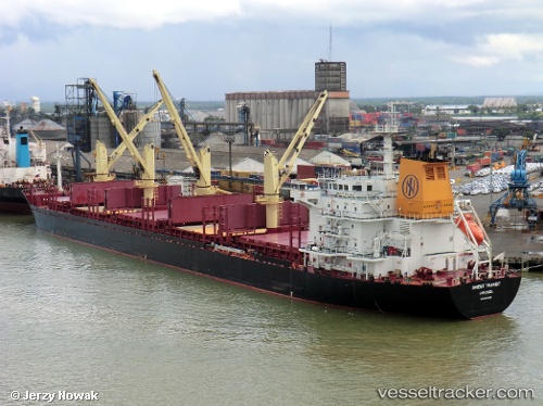
 EVER FORTUNE
Current Status
Where is the vessel?
EVER FORTUNE is currently in Near TAKAHAMA, based on AIS data received about 15h ago.
Latest AIS update:
Current position: 33.98095° N, 132.72092° E (Near TAKAHAMA)
Average speed (last 7 days): Loading…
Average speed (last 30 days): Loading…
Vessel profile: EVER FORTUNE is a Bulk Carrier with dimensions m x m.
This page combines live AIS, route history, probable destination signals, nearby traffic, and port activity for practical vessel monitoring.
The current position of vessel EVER FORTUNE is 33.98095 lat / 132.72092 lng. Updated: 2026-05-18 11:49:44 UTCNearest reference points:
- Near TSUWAJI
- Near Kure
- Near Yoshiumi
Currently sailing under the flag of Panama ![]()
Details:
Live Vessel EVER FORTUNE Analytics (details, animations, etc.)
Recent AIS points (UTC):
2026-05-18 07:48:34 UTC · 34.21863, 133.27322 · SOG 9.4 kn · COG 253°2026-05-18 09:54:14 UTC · 34.13683, 132.98254 · SOG 8 kn · COG 305°
2026-05-18 10:47:33 UTC · 34.10557, 132.85324 · SOG 9.6 kn · COG 224°
2026-05-18 11:49:44 UTC · 33.98095, 132.72092 · SOG 9.4 kn · COG 211°