 OBAN
OBAN
Current Status
Where is the vessel?
OBAN is currently in 27 nm W of Moho Bilondo, based on AIS data received about 15h ago.
Latest AIS update:
Current position: 5.74833° S, 9.82667° E (27 nm W of Moho Bilondo)
Average speed (last 7 days): Loading…
Average speed (last 30 days): Loading…
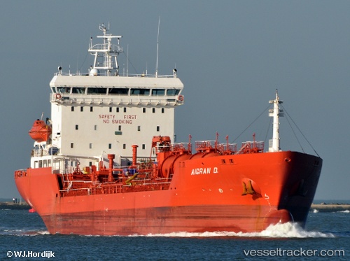
Vessel profile: OBAN is a Oil/Chemical Tanker with dimensions m x m.
This page combines live AIS, route history, probable destination signals, nearby traffic, and port activity for practical vessel monitoring.
The current position of vessel OBAN is -5.74833 lat / 9.82667 lng. Updated: 2026-05-20 13:52:11 UTCNearest reference points:
- Near N'Kossa Terminal
- 11 nm W of Cabinda
- Near Pointe Noire
Currently sailing under the flag of Panama ![]()
Details:
Live Vessel OBAN Analytics (details, animations, etc.)
Recent AIS points (UTC):
2026-05-20 10:25:10 UTC · -5.73500, 9.89167 · SOG 1 kn · COG -1°2026-05-20 11:48:17 UTC · -5.74087, 9.86625 · SOG 1.4 kn · COG 194°
2026-05-20 13:27:59 UTC · -5.74572, 9.83507 · SOG 1.3 kn · COG 199°
2026-05-20 13:52:11 UTC · -5.74833, 9.82667 · SOG 1 kn · COG -1°