 vesseltracker.com
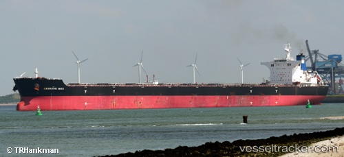
 SEA LYRA
Current Status
Where is the vessel?
SEA LYRA is currently in 84 nm S of Deboyne Lagoon, based on AIS data received about 15h ago.
Latest AIS update:
Current position: 12.17766° S, 152.27142° E (84 nm S of Deboyne Lagoon)
Average speed (last 7 days): Loading…
Average speed (last 30 days): Loading…
Vessel profile: SEA LYRA is a Bulk Carrier with dimensions m x m.
This page combines live AIS, route history, probable destination signals, nearby traffic, and port activity for practical vessel monitoring.
The current position of vessel SEA LYRA is -12.17766 lat / 152.27142 lng. Updated: 2026-05-17 23:57:22 UTCCurrently sailing under the flag of Panama ![]()
Details:
Live Vessel SEA LYRA Analytics (details, animations, etc.)
Recent AIS points (UTC):
2026-05-17 20:19:07 UTC · -12.90500, 152.40668 · SOG 12 kn · COG -1°2026-05-17 21:45:58 UTC · -12.62017, 152.35391 · SOG 12.2 kn · COG 345°
2026-05-17 22:06:06 UTC · -12.55218, 152.34160 · SOG 12.2 kn · COG 345°
2026-05-17 23:57:22 UTC · -12.17766, 152.27142 · SOG 12.2 kn · COG 346°