 vesseltracker.com
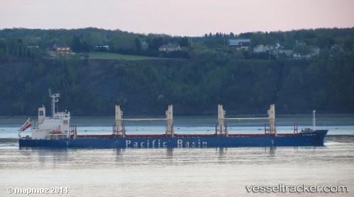
 TAN BINH 357
Current Status
Where is the vessel?
TAN BINH 357 is currently in 90 nm E of Dung Quat Petroleum Port, based on AIS data received about 14h ago.
Latest AIS update:
Current position: 15.55333° N, 110.38667° E (90 nm E of Dung Quat Petroleum Port)
Average speed (last 7 days): Loading…
Average speed (last 30 days): Loading…
Vessel profile: TAN BINH 357 is a Bulk Carrier with dimensions m x m.
This page combines live AIS, route history, probable destination signals, nearby traffic, and port activity for practical vessel monitoring.
The current position of vessel TAN BINH 357 is 15.55333 lat / 110.38667 lng. Updated: 2026-05-18 03:09:15 UTCNearest reference points:
- 17 nm NE of Bong Son
- 157 nm SE of Xincun
- Near DUNG QUAT
Currently sailing under the flag of Panama ![]()
Details:
Live Vessel TAN BINH 357 Analytics (details, animations, etc.)
Recent AIS points (UTC):
2026-05-18 00:03:11 UTC · 14.98833, 110.05833 · SOG 13 kn · COG -1°2026-05-18 01:36:09 UTC · 15.27667, 110.22167 · SOG 11 kn · COG -1°
2026-05-18 01:45:15 UTC · 15.30166, 110.23833 · SOG 11 kn · COG -1°
2026-05-18 03:09:15 UTC · 15.55333, 110.38667 · SOG 12 kn · COG -1°