 TAN BINH 267
Current Status
Where is the vessel?
TAN BINH 267 is currently in 49 nm S of Gavdos Chanea, based on AIS data received about 14h ago.
Latest AIS update:
Current position: 34.03468° N, 24.15437° E (49 nm S of Gavdos Chanea)
Average speed (last 7 days): Loading…
Average speed (last 30 days): Loading…
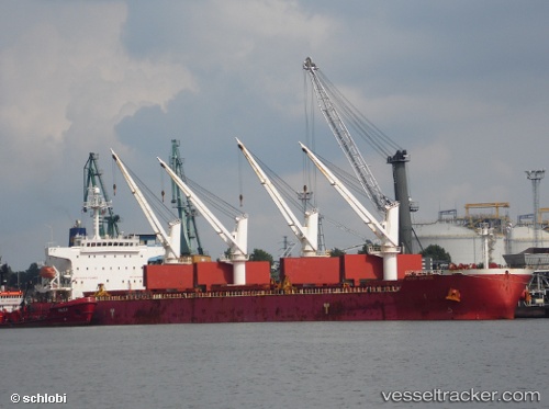
Vessel profile: TAN BINH 267 is a Bulk Carrier with dimensions m x m.
This page combines live AIS, route history, probable destination signals, nearby traffic, and port activity for practical vessel monitoring.
The current position of vessel TAN BINH 267 is 34.03468 lat / 24.15437 lng. Updated: 2026-05-21 19:36:20 UTCNearest reference points:
- 67 nm S of Kali Limenes
- Near Kali Limenes
- Near Iraklion
Currently sailing under the flag of Panama ![]()
Details:
Live Vessel TAN BINH 267 Analytics (details, animations, etc.)
Recent AIS points (UTC):
2026-05-21 16:22:39 UTC · 33.87937, 24.79078 · SOG 10.2 kn · COG 285°2026-05-21 17:49:39 UTC · 33.94938, 24.50942 · SOG 10 kn · COG 285°
2026-05-21 19:16:19 UTC · 34.01660, 24.22068 · SOG 10.6 kn · COG 289°
2026-05-21 19:36:20 UTC · 34.03468, 24.15437 · SOG 10.3 kn · COG 288°