 ENERSEA 1
Current Status
Where is the vessel?
ENERSEA 1 is currently in 74 nm S of Seogwipo, based on AIS data received about 14h ago.
Latest AIS update:
Current position: 32.05833° N, 127.00500° E (74 nm S of Seogwipo)
Average speed (last 7 days): Loading…
Average speed (last 30 days): Loading…
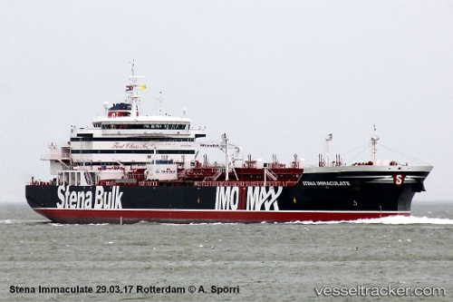
Vessel profile: ENERSEA 1 is a Tanker A with dimensions m x m.
This page combines live AIS, route history, probable destination signals, nearby traffic, and port activity for practical vessel monitoring.
The current position of vessel ENERSEA 1 is 32.05833 lat / 127.00500 lng. Updated: 2026-05-21 21:15:16 UTCNearest reference points:
- 78 nm S of Seogwipo
- 78 nm SE of Seogwipo
- 63 nm SE of Seogwipo
Currently sailing under the flag of Panama ![]()
Details:
Live Vessel ENERSEA 1 Analytics (details, animations, etc.)
Recent AIS points (UTC):
2026-05-21 18:18:38 UTC · 32.46636, 127.20409 · SOG 8.8 kn · COG 198°2026-05-21 19:18:39 UTC · 32.32595, 127.14210 · SOG 9 kn · COG 204°
2026-05-21 19:20:18 UTC · 32.32210, 127.14011 · SOG 9 kn · COG 204°
2026-05-21 21:15:16 UTC · 32.05833, 127.00500 · SOG 9 kn · COG -1°