 MALAK M
Current Status
Where is the vessel?
MALAK M is currently in Near ELAFONISOS, based on AIS data received about 14h ago.
Latest AIS update:
Current position: 36.49293° N, 22.99918° E (Near ELAFONISOS)
Average speed (last 7 days): Loading…
Average speed (last 30 days): Loading…
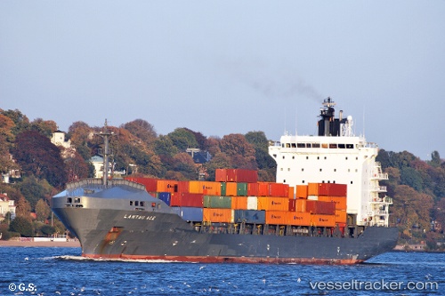
Vessel profile: MALAK M is a Container Ship with dimensions m x m.
This page combines live AIS, route history, probable destination signals, nearby traffic, and port activity for practical vessel monitoring.
The current position of vessel MALAK M is 36.49293 lat / 22.99918 lng. Updated: 2026-05-19 08:19:12 UTCNearest reference points:
- Near Kythira
- 17 nm S of Areópolis
- 20 nm E of FOKIANOS
Currently sailing under the flag of Panama ![]()
Details:
Live Vessel MALAK M Analytics (details, animations, etc.)
Recent AIS points (UTC):
2026-05-19 04:28:12 UTC · 36.49291, 22.99840 · SOG 0 kn · COG 8°2026-05-19 05:49:11 UTC · 36.49278, 22.99876 · SOG 0 kn · COG 355°
2026-05-19 07:01:12 UTC · 36.49309, 22.99879 · SOG 0 kn · COG 343°
2026-05-19 08:19:12 UTC · 36.49293, 22.99918 · SOG 0.1 kn · COG 333°