 BASALT
Current Status
Where is the vessel?
BASALT is currently in 83 nm SE of Labuan Haji, based on AIS data received about 15h ago.
Latest AIS update:
Current position: 3.43667° N, 119.53500° E (83 nm SE of Labuan Haji)
Average speed (last 7 days): Loading…
Average speed (last 30 days): Loading…
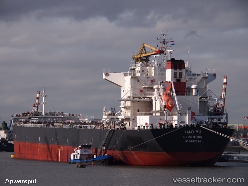
Vessel profile: BASALT is a Bulk Carrier with dimensions m x m.
This page combines live AIS, route history, probable destination signals, nearby traffic, and port activity for practical vessel monitoring.
The current position of vessel BASALT is 3.43667 lat / 119.53500 lng. Updated: 2026-05-23 08:13:16 UTCNearest reference points:
- 80 nm SE of Labuan Haji
- 43 nm E of Sibuko Bay
- 81 nm E of Muara Pantai
Currently sailing under the flag of Panama ![]()
Details:
Live Vessel BASALT Analytics (details, animations, etc.)
Recent AIS points (UTC):
2026-05-23 05:04:17 UTC · 2.87333, 119.45333 · SOG 10 kn · COG -1°2026-05-23 05:58:17 UTC · 3.03167, 119.47500 · SOG 10 kn · COG -1°
2026-05-23 07:28:21 UTC · 3.30167, 119.51333 · SOG 10 kn · COG -1°
2026-05-23 08:13:16 UTC · 3.43667, 119.53500 · SOG 11 kn · COG -1°