 TANARO RIVER
Current Status
Where is the vessel?
TANARO RIVER is currently in 34 nm N of Qulaybiyah, based on AIS data received about 14h ago.
Latest AIS update:
Current position: 37.39465° N, 11.32731° E (34 nm N of Qulaybiyah)
Average speed (last 7 days): Loading…
Average speed (last 30 days): Loading…
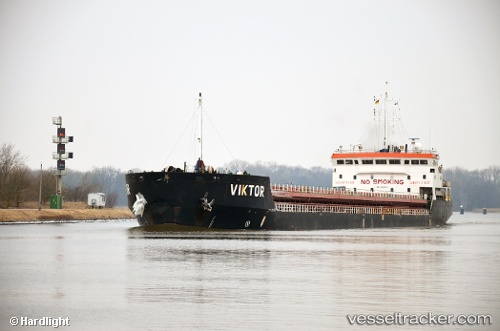
Vessel profile: TANARO RIVER is a General Cargo Ship with dimensions 140m x 16m.
This page combines live AIS, route history, probable destination signals, nearby traffic, and port activity for practical vessel monitoring.
The current position of vessel TANARO RIVER is 37.39465 lat / 11.32731 lng. Updated: 2026-05-21 13:58:50 UTCNearest reference points:
- 32 nm N of Qulaybiyah
- 13 nm N of Qulaybiyah
- Near MARSALA
Currently sailing under the flag of Panama ![]()
TANARO RIVER built in 2012 year
Deadweight:
7632 tDetails:
Live Vessel TANARO RIVER Analytics (details, animations, etc.)
Recent AIS points (UTC):
2026-05-21 11:03:00 UTC · 37.21643, 11.72968 · SOG 7.9 kn · COG 303°2026-05-21 11:20:29 UTC · 37.23500, 11.68833 · SOG 7 kn · COG -1°
2026-05-21 13:26:30 UTC · 37.36333, 11.39667 · SOG 7 kn · COG -1°
2026-05-21 13:58:50 UTC · 37.39465, 11.32731 · SOG 7.2 kn · COG 300°