 vesseltracker.com
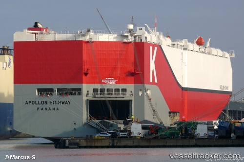
 Apollon Highway
Current Status
Where is the vessel?
Apollon Highway is currently in 205 nm SW of Los Cabos, based on AIS data received about 14h ago.
Latest AIS update:
Current position: 19.90286° N, 111.70313° W (205 nm SW of Los Cabos)
Average speed (last 7 days): Loading…
Average speed (last 30 days): Loading…
Vessel profile: Apollon Highway is a Vehicles Carrier with dimensions 200m x 40m.
This page combines live AIS, route history, probable destination signals, nearby traffic, and port activity for practical vessel monitoring.
The current position of vessel Apollon Highway is 19.90286 lat / -111.70313 lng. Updated: 2026-05-18 06:24:22 UTCNearest reference points:
- 99 nm SE of Shitan
- 67 nm S of Los Cabos
Currently sailing under the flag of Panama ![]()
Details:
Live Vessel Apollon Highway Analytics (details, animations, etc.)
Recent AIS points (UTC):
2026-05-18 01:54:49 UTC · 20.11254, -112.93587 · SOG 15.7 kn · COG 99°2026-05-18 03:35:00 UTC · 20.03280, -112.47574 · SOG 15.7 kn · COG 100°
2026-05-18 04:20:28 UTC · 19.99629, -112.27175 · SOG 15.5 kn · COG 100°
2026-05-18 06:24:22 UTC · 19.90286, -111.70313 · SOG 16.2 kn · COG 100°