 Erato
Erato
Current Status
Where is the vessel?
Erato is currently in 297 nm NE of Port Mathurin, based on AIS data received about 14h ago.
Latest AIS update:
Current position: 15.53343° S, 66.22667° E (297 nm NE of Port Mathurin)
Average speed (last 7 days): Loading…
Average speed (last 30 days): Loading…
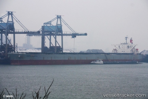
Vessel profile: Erato is a Bulk Carrier with dimensions 289m x 45m.
This page combines live AIS, route history, probable destination signals, nearby traffic, and port activity for practical vessel monitoring.
The current position of vessel Erato is -15.53343 lat / 66.22667 lng. Updated: 2026-05-22 22:44:08 UTCNearest reference points:
- 353 nm NE of Port Mathurin
- Open sea, approx. 400 nm off the nearest listed port
- Open sea, approx. 401 nm off the nearest listed port
Currently sailing under the flag of Panama ![]()
Erato built in 2010 year
Deadweight:
180120 tDetails:
Live Vessel Erato Analytics (details, animations, etc.)
Recent AIS points (UTC):
2026-05-22 19:22:39 UTC · -15.14600, 66.84517 · SOG 12.7 kn · COG 238°2026-05-22 19:50:29 UTC · -15.20032, 66.76020 · SOG 12.8 kn · COG 238°
2026-05-22 21:56:28 UTC · -15.44457, 66.37085 · SOG 12.4 kn · COG 235°
2026-05-22 22:44:08 UTC · -15.53343, 66.22667 · SOG 12.5 kn · COG 235°