 HARBOUR WELL
Current Status
Where is the vessel?
HARBOUR WELL is currently in 96 nm W of Iba, based on AIS data received about 14h ago.
Latest AIS update:
Current position: 15.27333° N, 118.31333° E (96 nm W of Iba)
Average speed (last 7 days): Loading…
Average speed (last 30 days): Loading…
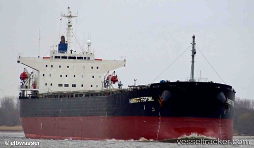
Vessel profile: HARBOUR WELL is a Bulk Carrier with dimensions 32m x 224m.
This page combines live AIS, route history, probable destination signals, nearby traffic, and port activity for practical vessel monitoring.
The current position of vessel HARBOUR WELL is 15.27333 lat / 118.31333 lng. Updated: 2026-05-22 07:38:37 UTCNearest reference points:
- 34 nm W of Iba
- 19 nm SW of MARIVELES
- 222 nm W of Iba
Currently sailing under the flag of Panama ![]()
HARBOUR WELL built in 1998 year
Deadweight:
72497 tDetails:
Live Vessel HARBOUR WELL Analytics (details, animations, etc.)
Recent AIS points (UTC):
2026-05-22 04:10:14 UTC · 14.73898, 118.73905 · SOG 12 kn · COG -1°2026-05-22 04:10:14 UTC · 14.73898, 118.73905 · SOG 12 kn · COG -1°
2026-05-22 05:31:52 UTC · 14.95167, 118.57167 · SOG 11 kn · COG -1°
2026-05-22 07:38:37 UTC · 15.27333, 118.31333 · SOG 11 kn · COG -1°