 vesseltracker.com
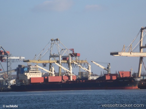
Handy Perth
Current StatusWhere is the vessel?
Handy Perth is currently in 15 nm NW of Naissaare, based on AIS data received less than 1h ago.
Latest AIS update:
Current position: 59.66479° N, 24.11411° E (15 nm NW of Naissaare)
Average speed (last 7 days): Loading…
Average speed (last 30 days): Loading…
Vessel profile: Handy Perth is a Bulk Carrier with dimensions 30m x 180m.
This page combines live AIS, route history, probable destination signals, nearby traffic, and port activity for practical vessel monitoring.
The current position of vessel Handy Perth is 59.66479 lat / 24.11411 lng. Updated: 2026-05-18 02:18:35 UTCNearest reference points:
- Near Mahu Sadam
- Near Ristna
- Near Aegna
Details:
Live Vessel Handy Perth Analytics (details, animations, etc.)
Recent AIS points (UTC):
2026-05-17 23:05:56 UTC · 59.44177, 22.79672 · SOG 13.1 kn · COG 71°2026-05-17 23:40:46 UTC · 59.48363, 23.03382 · SOG 13.1 kn · COG 72°
2026-05-18 02:18:06 UTC · 59.66432, 24.11060 · SOG 13.3 kn · COG 75°
2026-05-18 02:18:35 UTC · 59.66479, 24.11411 · SOG 13.3 kn · COG 75°