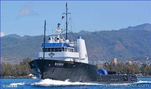
Nunui
Current StatusWhere is the vessel?
Nunui is currently in Near Enewetak Island, based on AIS data received about 14h ago.
Latest AIS update:
Current position: 11.35966° N, 162.33987° E (Near Enewetak Island)
Average speed (last 7 days): Loading…
Average speed (last 30 days): Loading…
Vessel profile: Nunui is a Offshore Tug Supply Ship with dimensions 14m x 52m.
This page combines live AIS, route history, probable destination signals, nearby traffic, and port activity for practical vessel monitoring.
The current position of vessel Nunui is 11.35966 lat / 162.33987 lng. Updated: 2026-05-20 09:36:17 UTCDetails:
Live Vessel Nunui Analytics (details, animations, etc.)
Recent AIS points (UTC):
2026-05-20 05:50:07 UTC · 11.36034, 162.33971 · SOG 0.2 kn · COG -1°2026-05-20 07:24:49 UTC · 11.36030, 162.33972 · SOG 0.1 kn · COG -1°
2026-05-20 08:16:07 UTC · 11.36019, 162.33974 · SOG 0.1 kn · COG -1°
2026-05-20 09:36:17 UTC · 11.35966, 162.33987 · SOG 0.1 kn · COG -1°