 Denali
Current Status
Where is the vessel?
Denali is currently in 21 nm E of GRAND MANAN, based on AIS data received about 15h ago.
Latest AIS update:
Current position: 44.73342° N, 66.26805° W (21 nm E of GRAND MANAN)
Average speed (last 7 days): Loading…
Average speed (last 30 days): Loading…
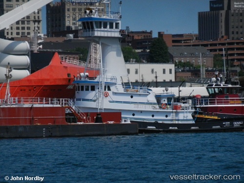
Vessel profile: Denali is a Tug with dimensions 152m x 24m.
This page combines live AIS, route history, probable destination signals, nearby traffic, and port activity for practical vessel monitoring.
The current position of vessel Denali is 44.73342 lat / -66.26805 lng. Updated: 2026-05-21 10:48:23 UTCNearest reference points:
- Near Tiverton
- 16 nm W of Tiverton
- Near St. John
Currently sailing under the flag of USA ![]()
Denali built in 2010 year
Deadweight:
278 tDetails:
Live Vessel Denali Analytics (details, animations, etc.)
Recent AIS points (UTC):
2026-05-21 07:18:12 UTC · 45.24729, -66.04889 · SOG 7.3 kn · COG 165°2026-05-21 07:31:22 UTC · 45.22140, -66.05111 · SOG 8.1 kn · COG 205°
2026-05-21 09:37:52 UTC · 44.91669, -66.19984 · SOG 9.7 kn · COG 186°
2026-05-21 10:48:23 UTC · 44.73342, -66.26805 · SOG 9.9 kn · COG 184°