 Marie H
Current Status
Where is the vessel?
Marie H is currently in 63 nm E of Lenard Harbour, based on AIS data received about 14h ago.
Latest AIS update:
Current position: 55.35999° N, 160.62601° W (63 nm E of Lenard Harbour)
Average speed (last 7 days): Loading…
Average speed (last 30 days): Loading…
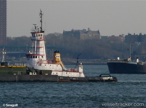
Vessel profile: Marie H is a Tug with dimensions 38m x 10m.
This page combines live AIS, route history, probable destination signals, nearby traffic, and port activity for practical vessel monitoring.
The current position of vessel Marie H is 55.35999 lat / -160.62601 lng. Updated: 2026-05-22 16:35:36 UTCNearest reference points:
- Near Lenard Harbour
Currently sailing under the flag of USA ![]()
Marie H built in 1978 year
Details:
Live Vessel Marie H Analytics (details, animations, etc.)
Recent AIS points (UTC):
2026-05-22 13:13:35 UTC · 55.36015, -160.62625 · SOG 0 kn · COG 38°2026-05-22 13:58:01 UTC · 55.36001, -160.62605 · SOG 0 kn · COG 48°
2026-05-22 16:11:47 UTC · 55.35833, -160.62500 · SOG 0 kn · COG -1°
2026-05-22 16:35:36 UTC · 55.35999, -160.62601 · SOG 0 kn · COG 52°