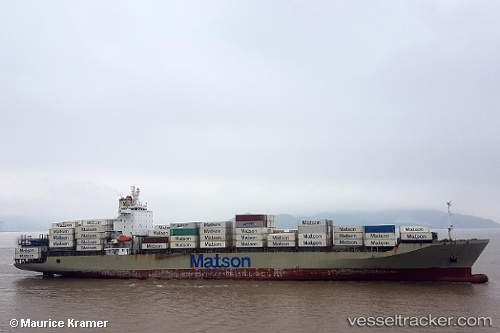
Manukai
Current StatusWhere is the vessel?
Manukai is currently in 186 nm SW of Krustetten, based on AIS data received about 14h ago.
Latest AIS update:
Current position: 45.61398° N, 156.06178° W (186 nm SW of Krustetten)
Average speed (last 7 days): Loading…
Average speed (last 30 days): Loading…
Vessel profile: Manukai is a Container Ship with dimensions 32m x 217m.
This page combines live AIS, route history, probable destination signals, nearby traffic, and port activity for practical vessel monitoring.
The current position of vessel Manukai is 45.61398 lat / -156.06178 lng. Updated: 2026-05-22 04:00:54 UTCDetails:
Live Vessel Manukai Analytics (details, animations, etc.)
Recent AIS points (UTC):
2026-05-22 02:01:58 UTC · 45.78667, -157.12666 · SOG 23 kn · COG -1°2026-05-22 02:08:50 UTC · 45.77679, -157.06593 · SOG 23.2 kn · COG 104°
2026-05-22 03:25:10 UTC · 45.66757, -156.38142 · SOG 23.1 kn · COG 103°
2026-05-22 04:00:54 UTC · 45.61398, -156.06178 · SOG 23.2 kn · COG 105°