 OCEAN CLEVER
Current Status
Where is the vessel?
OCEAN CLEVER is currently in 11 nm E of AL KHOR, based on AIS data received about 19h ago.
Latest AIS update:
Current position: 25.70577° N, 51.72885° E (11 nm E of AL KHOR)
Average speed (last 7 days): Loading…
Average speed (last 30 days): Loading…
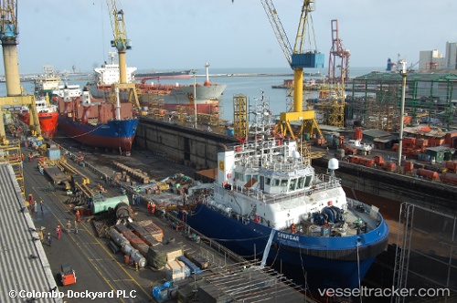
Vessel profile: OCEAN CLEVER is a Offshore Tug/Supply Ship with dimensions 16m x 61m.
This page combines live AIS, route history, probable destination signals, nearby traffic, and port activity for practical vessel monitoring.
The current position of vessel OCEAN CLEVER is 25.70577 lat / 51.72885 lng. Updated: 2026-05-22 15:45:35 UTCNearest reference points:
- Near RAS LAFFAN
- 21 nm NE of Halul Island
- Near KHALIFA BIN SALMAN
Currently sailing under the flag of St Vincent and Grenadines ![]()
OCEAN CLEVER built in 2009 year
Deadweight:
1548 tDetails:
Live Vessel OCEAN CLEVER Analytics (details, animations, etc.)
Recent AIS points (UTC):
2026-05-22 15:45:35 UTC · 25.70577, 51.72885 · SOG 0.8 kn · COG -1°2026-05-22 15:45:35 UTC · 25.70577, 51.72885 · SOG 0.8 kn · COG -1°
2026-05-22 15:45:35 UTC · 25.70577, 51.72885 · SOG 0.8 kn · COG -1°
2026-05-22 15:45:35 UTC · 25.70577, 51.72885 · SOG 0.8 kn · COG -1°