 DE SHANG FU
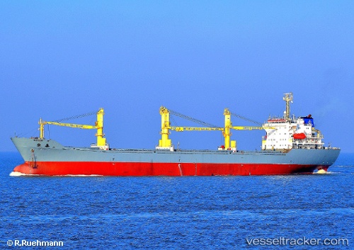
Current Status
Where is the vessel?
DE SHANG FU is currently in 19 nm SW of Qinhuangdao Pt, based on AIS data received about 14h ago.
Latest AIS update:
Current position: 39.67719° N, 119.31621° E (19 nm SW of Qinhuangdao Pt)
Average speed (last 7 days): Loading…
Average speed (last 30 days): Loading…
Vessel profile: DE SHANG FU is a General Cargo with dimensions m x m.
This page combines live AIS, route history, probable destination signals, nearby traffic, and port activity for practical vessel monitoring.
The current position of vessel DE SHANG FU is 39.67719 lat / 119.31621 lng. Updated: 2026-05-19 00:12:42 UTCNearest reference points:
- Near Chin-Huang-Tao
- Near SHANHAIGUAN
- Near JINGTANG
Currently sailing under the flag of China ![]()
Details:
Live Vessel DE SHANG FU Analytics (details, animations, etc.)
Recent AIS points (UTC):
2026-05-18 19:51:42 UTC · 39.67725, 119.31634 · SOG 0 kn · COG -1°2026-05-18 21:57:42 UTC · 39.67725, 119.31633 · SOG 0 kn · COG -1°
2026-05-18 22:24:42 UTC · 39.67720, 119.31630 · SOG 0 kn · COG -1°
2026-05-19 00:12:42 UTC · 39.67719, 119.31621 · SOG 0 kn · COG -1°