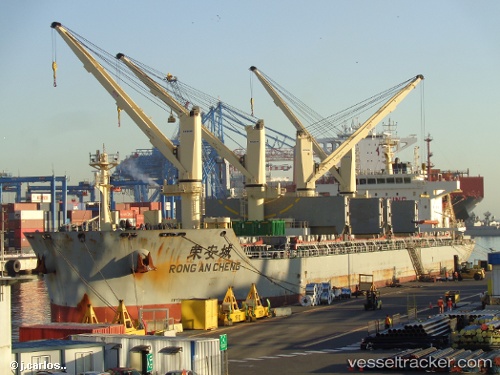
 RONG AN CHENG
Current Status
Where is the vessel?
RONG AN CHENG is currently in Near Tocopilla, based on AIS data received about 14h ago.
Latest AIS update:
Current position: 22.07690° S, 70.20845° W (Near Tocopilla)
Average speed (last 7 days): Loading…
Average speed (last 30 days): Loading…
Vessel profile: RONG AN CHENG is a Cargo D with dimensions m x m.
This page combines live AIS, route history, probable destination signals, nearby traffic, and port activity for practical vessel monitoring.
The current position of vessel RONG AN CHENG is -22.07690 lat / -70.20845 lng. Updated: 2026-05-22 04:22:32 UTCNearest reference points:
- 17 nm W of Puerto Angamos
Currently sailing under the flag of China ![]()
Details:
Live Vessel RONG AN CHENG Analytics (details, animations, etc.)
Recent AIS points (UTC):
2026-05-22 01:58:32 UTC · -22.07605, -70.20892 · SOG 0.1 kn · COG 219°2026-05-22 02:10:34 UTC · -22.07617, -70.20866 · SOG 0.1 kn · COG 234°
2026-05-22 03:28:34 UTC · -22.07637, -70.20861 · SOG 0 kn · COG 244°
2026-05-22 04:22:32 UTC · -22.07690, -70.20845 · SOG 0 kn · COG 267°