 PU AN TONG
Current Status
Where is the vessel?
PU AN TONG is currently in 87 nm W of Kommetjie, based on AIS data received about 15h ago.
Latest AIS update:
Current position: 34.25800° S, 16.56433° E (87 nm W of Kommetjie)
Average speed (last 7 days): Loading…
Average speed (last 30 days): Loading…
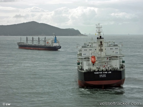
Vessel profile: PU AN TONG is a Cargo with dimensions m x m.
This page combines live AIS, route history, probable destination signals, nearby traffic, and port activity for practical vessel monitoring.
The current position of vessel PU AN TONG is -34.25800 lat / 16.56433 lng. Updated: 2026-05-21 14:05:42 UTCNearest reference points:
- 111 nm W of Kommetjie
- 116 nm SW of Saldanha Bay
- 18 nm SW of Cape Of Good Hope
Currently sailing under the flag of China ![]()
Details:
Live Vessel PU AN TONG Analytics (details, animations, etc.)
Recent AIS points (UTC):
2026-05-21 10:59:46 UTC · -33.94367, 16.08233 · SOG 9.5 kn · COG 130°2026-05-21 11:19:41 UTC · -33.97633, 16.13267 · SOG 9.5 kn · COG 130°
2026-05-21 13:32:20 UTC · -34.20183, 16.47783 · SOG 9.9 kn · COG 130°
2026-05-21 14:05:42 UTC · -34.25800, 16.56433 · SOG 10.1 kn · COG 130°