 Taisetsu Maru
Current Status
Where is the vessel?
Taisetsu Maru is currently in 14 nm NE of SAI, based on AIS data received about 15h ago.
Latest AIS update:
Current position: 41.64482° N, 141.00092° E (14 nm NE of SAI)
Average speed (last 7 days): Loading…
Average speed (last 30 days): Loading…
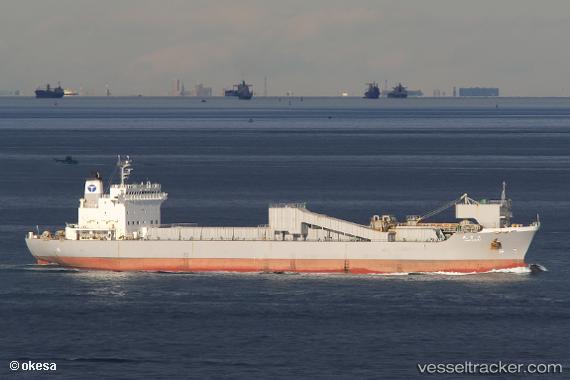
Vessel profile: Taisetsu Maru is a Limestone Carrier with dimensions 150m x 150m.
This page combines live AIS, route history, probable destination signals, nearby traffic, and port activity for practical vessel monitoring.
The current position of vessel Taisetsu Maru is 41.64482 lat / 141.00092 lng. Updated: 2026-05-21 23:03:45 UTCNearest reference points:
- 23 nm NE of SAI
- 11 nm NW of Yokohama, Aomori
- Near Yokohama, Aomori
Currently sailing under the flag of Japan ![]()
Details:
Live Vessel Taisetsu Maru Analytics (details, animations, etc.)
Recent AIS points (UTC):
2026-05-21 19:35:56 UTC · 41.17295, 141.65465 · SOG 13.1 kn · COG -1°2026-05-21 19:45:42 UTC · 41.20851, 141.64520 · SOG 13.3 kn · COG 350°
2026-05-21 21:24:03 UTC · 41.51833, 141.43500 · SOG 12 kn · COG -1°
2026-05-21 23:03:45 UTC · 41.64482, 141.00092 · SOG 12.8 kn · COG 284°