 vesseltracker.com
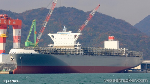
 Madrid Bridge
Current Status
Where is the vessel?
Madrid Bridge is currently in 25 nm E of Tybee Island, based on AIS data received about 14h ago.
Latest AIS update:
Current position: 31.86691° N, 80.37256° W (25 nm E of Tybee Island)
Average speed (last 7 days): Loading…
Average speed (last 30 days): Loading…
Vessel profile: Madrid Bridge is a Container Ship with dimensions 366m x 51m.
This page combines live AIS, route history, probable destination signals, nearby traffic, and port activity for practical vessel monitoring.
The current position of vessel Madrid Bridge is 31.86691 lat / -80.37256 lng. Updated: 2026-05-18 12:03:56 UTCNearest reference points:
- 33 nm S of Kiawah Island
- Near Saint Andrews
- Near Charleston
Currently sailing under the flag of Japan ![]()
Details:
Live Vessel Madrid Bridge Analytics (details, animations, etc.)
Recent AIS points (UTC):
2026-05-18 08:19:06 UTC · 31.33360, -80.53163 · SOG 10.6 kn · COG 18°2026-05-18 10:00:16 UTC · 31.60012, -80.47237 · SOG 7.4 kn · COG 15°
2026-05-18 11:11:06 UTC · 31.75367, -80.42557 · SOG 8 kn · COG 40°
2026-05-18 12:03:56 UTC · 31.86691, -80.37256 · SOG 8.3 kn · COG 25°