 DL AMBER
Current Status
Where is the vessel?
DL AMBER is currently in 22 nm SW of Taean-gun, based on AIS data received about 15h ago.
Latest AIS update:
Current position: 36.54872° N, 125.87149° E (22 nm SW of Taean-gun)
Average speed (last 7 days): Loading…
Average speed (last 30 days): Loading…
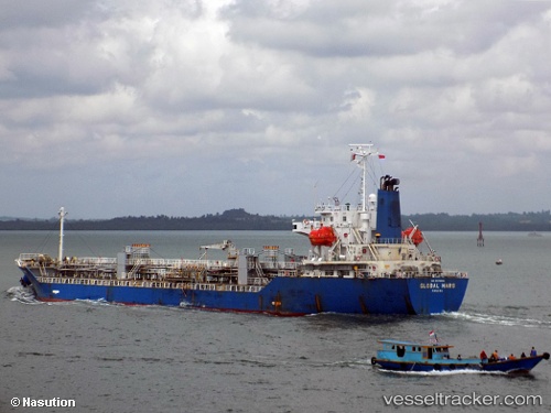
Vessel profile: DL AMBER is a Oil/Chemical Tanker with dimensions m x m.
This page combines live AIS, route history, probable destination signals, nearby traffic, and port activity for practical vessel monitoring.
The current position of vessel DL AMBER is 36.54872 lat / 125.87149 lng. Updated: 2026-05-19 01:57:27 UTCNearest reference points:
- Near Taean-gun
- 22 nm W of Biin
- 13 nm W of BORYEONG
Currently sailing under the flag of South Korea ![]()
Details:
Live Vessel DL AMBER Analytics (details, animations, etc.)
Recent AIS points (UTC):
2026-05-18 22:44:28 UTC · 37.24260, 126.22654 · SOG 12.8 kn · COG 207°2026-05-18 23:22:53 UTC · 37.11017, 126.14165 · SOG 13.7 kn · COG 200°
2026-05-19 01:37:26 UTC · 36.62525, 125.89003 · SOG 13.8 kn · COG -1°
2026-05-19 01:57:27 UTC · 36.54872, 125.87149 · SOG 13.8 kn · COG -1°