 SEUNG JIN
Current Status
Where is the vessel?
SEUNG JIN is currently in 10 nm NE of DAESAN, based on AIS data received about 14h ago.
Latest AIS update:
Current position: 37.16269° N, 126.50498° E (10 nm NE of DAESAN)
Average speed (last 7 days): Loading…
Average speed (last 30 days): Loading…
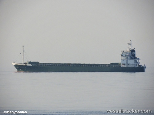
Vessel profile: SEUNG JIN is a Tanker with dimensions m x m.
This page combines live AIS, route history, probable destination signals, nearby traffic, and port activity for practical vessel monitoring.
The current position of vessel SEUNG JIN is 37.16269 lat / 126.50498 lng. Updated: 2026-05-21 10:26:58 UTCNearest reference points:
- 10 nm N of DAESAN
- Near DAESAN
- 14 nm SW of Incheon
Currently sailing under the flag of South Korea ![]()
Details:
Live Vessel SEUNG JIN Analytics (details, animations, etc.)
Recent AIS points (UTC):
2026-05-21 07:08:39 UTC · 37.16216, 126.50451 · SOG 0.1 kn · COG 322°2026-05-21 07:51:58 UTC · 37.16231, 126.50463 · SOG 0.1 kn · COG 324°
2026-05-21 10:01:59 UTC · 37.16282, 126.50505 · SOG 0.1 kn · COG 273°
2026-05-21 10:26:58 UTC · 37.16269, 126.50498 · SOG 0.2 kn · COG 287°