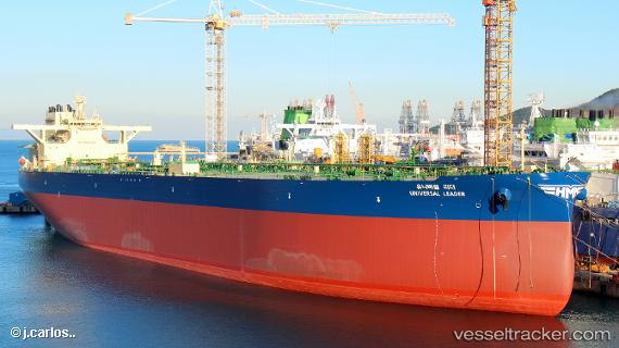
 UNIVERSAL LEADER
Current Status
Where is the vessel?
UNIVERSAL LEADER is currently in 155 nm N of Noord, based on AIS data received about 14h ago.
Latest AIS update:
Current position: 15.09956° N, 69.47245° W (155 nm N of Noord)
Average speed (last 7 days): Loading…
Average speed (last 30 days): Loading…
Vessel profile: UNIVERSAL LEADER is a Tanker with dimensions m x m.
This page combines live AIS, route history, probable destination signals, nearby traffic, and port activity for practical vessel monitoring.
The current position of vessel UNIVERSAL LEADER is 15.09956 lat / -69.47245 lng. Updated: 2026-05-23 07:31:09 UTCNearest reference points:
- 148 nm N of Dorp Rincón
- 24 nm NW of Palm Beach
Currently sailing under the flag of South Korea ![]()
Details:
Live Vessel UNIVERSAL LEADER Analytics (details, animations, etc.)
Recent AIS points (UTC):
2026-05-23 04:17:51 UTC · 15.42044, -70.12281 · SOG 13.1 kn · COG 116°2026-05-23 05:53:02 UTC · 15.26597, -69.80059 · SOG 13.2 kn · COG 115°
2026-05-23 07:07:50 UTC · 15.14087, -69.55083 · SOG 13.2 kn · COG 115°
2026-05-23 07:31:09 UTC · 15.09956, -69.47245 · SOG 13.4 kn · COG 116°