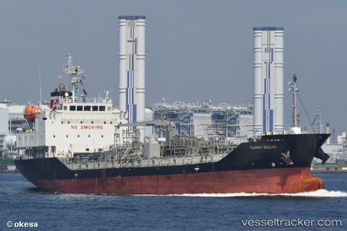
 SUNNY QUEEN
Current Status
Where is the vessel?
SUNNY QUEEN is currently in 48 nm E of Ruby, based on AIS data received about 19h ago.
Latest AIS update:
Current position: 10.12767° N, 109.27629° E (48 nm E of Ruby)
Average speed (last 7 days): Loading…
Average speed (last 30 days): Loading…
Vessel profile: SUNNY QUEEN is a Tanker with dimensions m x m.
This page combines live AIS, route history, probable destination signals, nearby traffic, and port activity for practical vessel monitoring.
The current position of vessel SUNNY QUEEN is 10.12767 lat / 109.27629 lng. Updated: 2026-05-21 12:02:37 UTCNearest reference points:
- Near Rang Dong
- 30 nm NW of Bach Ho
- Near Vinh Cam Ranh
Currently sailing under the flag of South Korea ![]()
Details:
Live Vessel SUNNY QUEEN Analytics (details, animations, etc.)
Recent AIS points (UTC):
2026-05-21 12:02:37 UTC · 10.12767, 109.27629 · SOG 11.4 kn · COG 180°2026-05-21 12:02:37 UTC · 10.12767, 109.27629 · SOG 11.4 kn · COG 180°
2026-05-21 12:02:37 UTC · 10.12767, 109.27629 · SOG 11.4 kn · COG 180°
2026-05-21 12:02:37 UTC · 10.12767, 109.27629 · SOG 11.4 kn · COG 180°