 HMM CEBU
Current Status
Where is the vessel?
HMM CEBU is currently in 35 nm W of Subic Bay, based on AIS data received about 15h ago.
Latest AIS update:
Current position: 14.67500° N, 119.58833° E (35 nm W of Subic Bay)
Average speed (last 7 days): Loading…
Average speed (last 30 days): Loading…
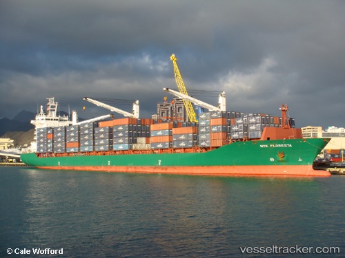
Vessel profile: HMM CEBU is a Container Ship with dimensions m x m.
This page combines live AIS, route history, probable destination signals, nearby traffic, and port activity for practical vessel monitoring.
The current position of vessel HMM CEBU is 14.67500 lat / 119.58833 lng. Updated: 2026-05-23 08:08:35 UTCNearest reference points:
- 34 nm W of Iba
- 19 nm SW of MARIVELES
- Near Nasugbu, Luzon
Currently sailing under the flag of South Korea ![]()
Details:
Live Vessel HMM CEBU Analytics (details, animations, etc.)
Recent AIS points (UTC):
2026-05-23 04:59:50 UTC · 13.75710, 119.80416 · SOG 18.4 kn · COG 335°2026-05-23 05:59:37 UTC · 14.02368, 119.69411 · SOG 18.2 kn · COG -1°
2026-05-23 07:35:34 UTC · 14.51167, 119.60833 · SOG 17 kn · COG -1°
2026-05-23 08:08:35 UTC · 14.67500, 119.58833 · SOG 17 kn · COG -1°