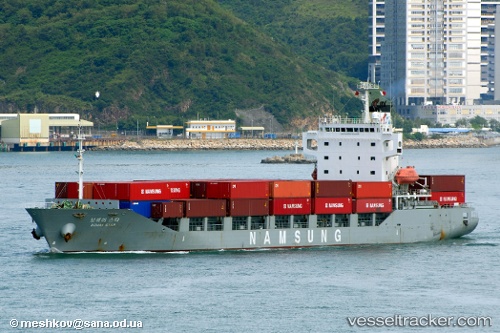
 BOHAI STAR
Current Status
Where is the vessel?
BOHAI STAR is currently in Near Yokkaichi, based on AIS data received about 14h ago.
Latest AIS update:
Current position: 34.97139° N, 136.77341° E (Near Yokkaichi)
Average speed (last 7 days): Loading…
Average speed (last 30 days): Loading…
Vessel profile: BOHAI STAR is a Container Ship with dimensions m x m.
This page combines live AIS, route history, probable destination signals, nearby traffic, and port activity for practical vessel monitoring.
The current position of vessel BOHAI STAR is 34.97139 lat / 136.77341 lng. Updated: 2026-05-23 06:12:17 UTCNearest reference points:
- Near Yokkaichi
- Near Nagoya
- Near Kinuura
Currently sailing under the flag of Hong Kong ![]()
Details:
Live Vessel BOHAI STAR Analytics (details, animations, etc.)
Recent AIS points (UTC):
2026-05-23 02:02:17 UTC · 34.97135, 136.77316 · SOG 0 kn · COG 160°2026-05-23 04:25:15 UTC · 34.97143, 136.77339 · SOG 0 kn · COG 161°
2026-05-23 04:43:59 UTC · 34.97133, 136.77316 · SOG 0 kn · COG 146°
2026-05-23 06:12:17 UTC · 34.97139, 136.77341 · SOG 0 kn · COG 156°