 TSING CHAU
Current Status
Where is the vessel?
TSING CHAU is currently in Near Tsing Yi, based on AIS data received about 15h ago.
Latest AIS update:
Current position: 22.33877° N, 114.09193° E (Near Tsing Yi)
Average speed (last 7 days): Loading…
Average speed (last 30 days): Loading…
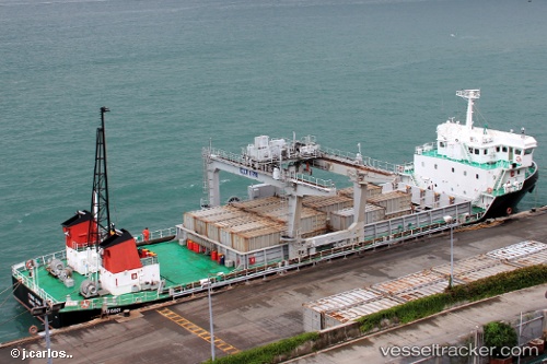
Vessel profile: TSING CHAU is a Cargo with dimensions m x m.
This page combines live AIS, route history, probable destination signals, nearby traffic, and port activity for practical vessel monitoring.
The current position of vessel TSING CHAU is 22.33877 lat / 114.09193 lng. Updated: 2026-05-19 11:29:49 UTCNearest reference points:
- Near Ting Kau
- Near Lai Chi Kok
- Near Tsing Yi
Currently sailing under the flag of Hong Kong ![]()
Details:
Live Vessel TSING CHAU Analytics (details, animations, etc.)
Recent AIS points (UTC):
2026-05-19 07:33:59 UTC · 22.33875, 114.09188 · SOG 0.1 kn · COG -1°2026-05-19 10:18:18 UTC · 22.33881, 114.09185 · SOG 0.2 kn · COG -1°
2026-05-19 11:03:20 UTC · 22.33878, 114.09189 · SOG 0.1 kn · COG -1°
2026-05-19 11:29:49 UTC · 22.33877, 114.09193 · SOG 0.1 kn · COG -1°