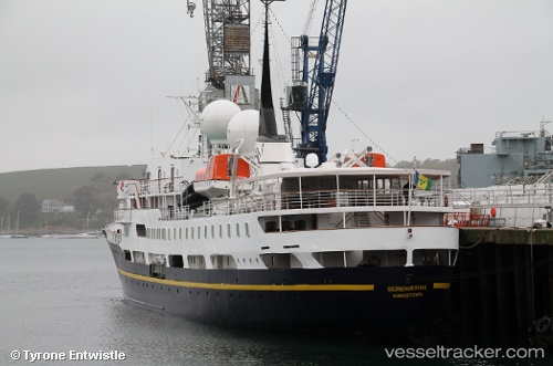
 SERENISSIMA
Current Status
Where is the vessel?
SERENISSIMA is currently in Near Longyearbyen, based on AIS data received about 14h ago.
Latest AIS update:
Current position: 78.22955° N, 15.60149° E (Near Longyearbyen)
Average speed (last 7 days): Loading…
Average speed (last 30 days): Loading…
Vessel profile: SERENISSIMA is a Passengers Ship with dimensions m x m.
This page combines live AIS, route history, probable destination signals, nearby traffic, and port activity for practical vessel monitoring.
The current position of vessel SERENISSIMA is 78.22955 lat / 15.60149 lng. Updated: 2026-05-21 13:38:41 UTCNearest reference points:
- Near Longyearbyen
Currently sailing under the flag of Bahamas ![]()
Details:
Live Vessel SERENISSIMA Analytics (details, animations, etc.)
Recent AIS points (UTC):
2026-05-21 09:47:45 UTC · 78.22955, 15.60149 · SOG 0 kn · COG 311°2026-05-21 11:02:47 UTC · 78.22952, 15.60156 · SOG 0 kn · COG 311°
2026-05-21 11:32:46 UTC · 78.22953, 15.60153 · SOG 0 kn · COG 310°
2026-05-21 13:38:41 UTC · 78.22955, 15.60149 · SOG 0 kn · COG 310°