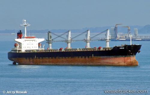
 Ammar
Ammar
Current Status
Where is the vessel?
Ammar is currently in 13 nm W of BAKAUHENI, based on AIS data received about 15h ago.
Latest AIS update:
Current position: 5.83939° S, 105.54542° E (13 nm W of BAKAUHENI)
Average speed (last 7 days): Loading…
Average speed (last 30 days): Loading…
Vessel profile: Ammar is a Bulk Carrier with dimensions m x m.
This page combines live AIS, route history, probable destination signals, nearby traffic, and port activity for practical vessel monitoring.
The current position of vessel Ammar is -5.83939 lat / 105.54542 lng. Updated: 2026-05-23 03:31:35 UTCNearest reference points:
- Near BAKAUHENI
- Near Ardjuna
- Near Tarahan
Currently sailing under the flag of Indonesia ![]()
Details:
Live Vessel Ammar Analytics (details, animations, etc.)
Recent AIS points (UTC):
2026-05-22 23:58:06 UTC · -5.86920, 106.11646 · SOG 0.1 kn · COG 143°2026-05-23 01:40:25 UTC · -5.82531, 105.85364 · SOG 12.5 kn · COG 271°
2026-05-23 02:03:26 UTC · -5.88345, 105.81110 · SOG 12.5 kn · COG 200°
2026-05-23 03:31:35 UTC · -5.83939, 105.54542 · SOG 13.4 kn · COG 294°