 GAS BENUA
Current Status
Where is the vessel?
GAS BENUA is currently in 11 nm E of Balikpapan, based on AIS data received about 14h ago.
Latest AIS update:
Current position: 1.33539° S, 116.98077° E (11 nm E of Balikpapan)
Average speed (last 7 days): Loading…
Average speed (last 30 days): Loading…
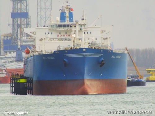
Vessel profile: GAS BENUA is a Lpg Tanker with dimensions m x m.
This page combines live AIS, route history, probable destination signals, nearby traffic, and port activity for practical vessel monitoring.
The current position of vessel GAS BENUA is -1.33539 lat / 116.98077 lng. Updated: 2026-05-18 21:57:12 UTCNearest reference points:
- 11 nm SE of Balikpapan
- Near Balikpapan
- Near KARIANGAU
Currently sailing under the flag of Indonesia ![]()
Details:
Live Vessel GAS BENUA Analytics (details, animations, etc.)
Recent AIS points (UTC):
2026-05-18 18:13:22 UTC · -1.33571, 116.98100 · SOG 0 kn · COG 50°2026-05-18 19:48:08 UTC · -1.33539, 116.98071 · SOG 0 kn · COG 77°
2026-05-18 19:53:18 UTC · -1.33546, 116.98072 · SOG 0 kn · COG 70°
2026-05-18 21:57:12 UTC · -1.33539, 116.98077 · SOG 0 kn · COG 66°