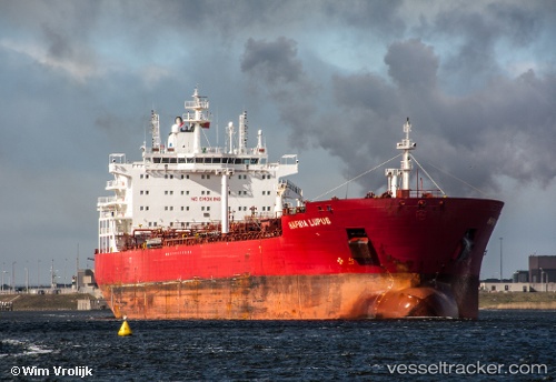
 ORKIM CITRINE
Current Status
Where is the vessel?
ORKIM CITRINE is currently in Near Kerteh, based on AIS data received about 14h ago.
Latest AIS update:
Current position: 4.52575° N, 103.55331° E (Near Kerteh)
Average speed (last 7 days): Loading…
Average speed (last 30 days): Loading…
Vessel profile: ORKIM CITRINE is a Oil/Chemical Tanker with dimensions m x m.
This page combines live AIS, route history, probable destination signals, nearby traffic, and port activity for practical vessel monitoring.
The current position of vessel ORKIM CITRINE is 4.52575 lat / 103.55331 lng. Updated: 2026-05-22 05:25:59 UTCNearest reference points:
- Near KEMAMAN
- Near Cukai
- 29 nm SW of Dulang Marine Terminal
Currently sailing under the flag of Malaysia ![]()
Details:
Live Vessel ORKIM CITRINE Analytics (details, animations, etc.)
Recent AIS points (UTC):
2026-05-22 02:26:01 UTC · 4.52628, 103.55263 · SOG 0.1 kn · COG 54°2026-05-22 04:15:12 UTC · 4.52581, 103.55371 · SOG 0 kn · COG -1°
2026-05-22 04:15:12 UTC · 4.52581, 103.55371 · SOG 0 kn · COG -1°
2026-05-22 05:25:59 UTC · 4.52575, 103.55331 · SOG 0 kn · COG 18°