 vesseltracker.com
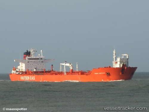
 Albatross
Current Status
Where is the vessel?
Albatross is currently in 21 nm NE of Ile D’Ouessant, based on AIS data received less than 1h ago.
Latest AIS update:
Current position: 48.93442° N, 5.14801° W (21 nm NE of Ile D’Ouessant)
Average speed (last 7 days): Loading…
Average speed (last 30 days): Loading…
Vessel profile: Albatross is a Crude Oil Tanker with dimensions 204m x 42m.
This page combines live AIS, route history, probable destination signals, nearby traffic, and port activity for practical vessel monitoring.
The current position of vessel Albatross is 48.93442 lat / -5.14801 lng. Updated: 2026-05-17 17:43:42 UTCNearest reference points:
- 18 nm NE of Ile D’Ouessant
- 28 nm N of Landunvez
- 34 nm W of Verzy
Currently sailing under the flag of Marshall Is ![]()
Albatross built in 1993 year
Deadweight:
123848 tDetails:
Live Vessel Albatross Analytics (details, animations, etc.)
Recent AIS points (UTC):
2026-05-17 14:07:33 UTC · 48.37320, -5.86700 · SOG 11.8 kn · COG -1°2026-05-17 16:07:12 UTC · 48.74964, -5.58509 · SOG 12.5 kn · COG 35°
2026-05-17 16:20:02 UTC · 48.78306, -5.54030 · SOG 12.6 kn · COG 48°
2026-05-17 17:43:42 UTC · 48.93442, -5.14801 · SOG 12.7 kn · COG 56°