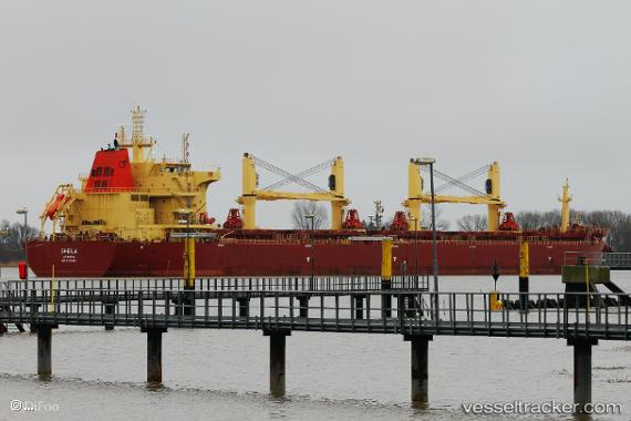
 SHEILA
Current Status
Where is the vessel?
SHEILA is currently in Near Puerto Sandino, based on AIS data received about 14h ago.
Latest AIS update:
Current position: 12.16684° N, 86.81650° W (Near Puerto Sandino)
Average speed (last 7 days): Loading…
Average speed (last 30 days): Loading…
Vessel profile: SHEILA is a Bulk Carrier with dimensions 32m x 190m.
This page combines live AIS, route history, probable destination signals, nearby traffic, and port activity for practical vessel monitoring.
The current position of vessel SHEILA is 12.16684 lat / -86.81650 lng. Updated: 2026-05-22 07:38:22 UTCNearest reference points:
- Near El Salvador
- 27 nm W of Playa Conchal
- Near Golfo de Papagayo
Currently sailing under the flag of Marshall Islands ![]()
SHEILA built in 2016 year
Deadweight:
58608 tDetails:
Live Vessel SHEILA Analytics (details, animations, etc.)
Recent AIS points (UTC):
2026-05-22 04:35:22 UTC · 12.16654, -86.81715 · SOG 0 kn · COG 143°2026-05-22 06:17:22 UTC · 12.16680, -86.81623 · SOG 0 kn · COG 168°
2026-05-22 07:21:09 UTC · 12.16680, -86.81657 · SOG 0.1 kn · COG -1°
2026-05-22 07:38:22 UTC · 12.16684, -86.81650 · SOG 0 kn · COG 163°